Scenic Routes for Photographers between Gallup NM & Phoenix AZ
We arrived back to Phoenix late Friday night after spending a few days in New Mexico. While a portion of the trip was devoted to the seminar at Kirtland, any road trip must have time for grabbing the camera. Time was short and we were visiting some unfamiliar territory, so anticipating what would be photogenic requires one driving and one doing point outs. We hope this blog entry helps you to plan your road trip with a better sense of where you would want to stop. [All photographs are copyright of Adrienne Campbell.]
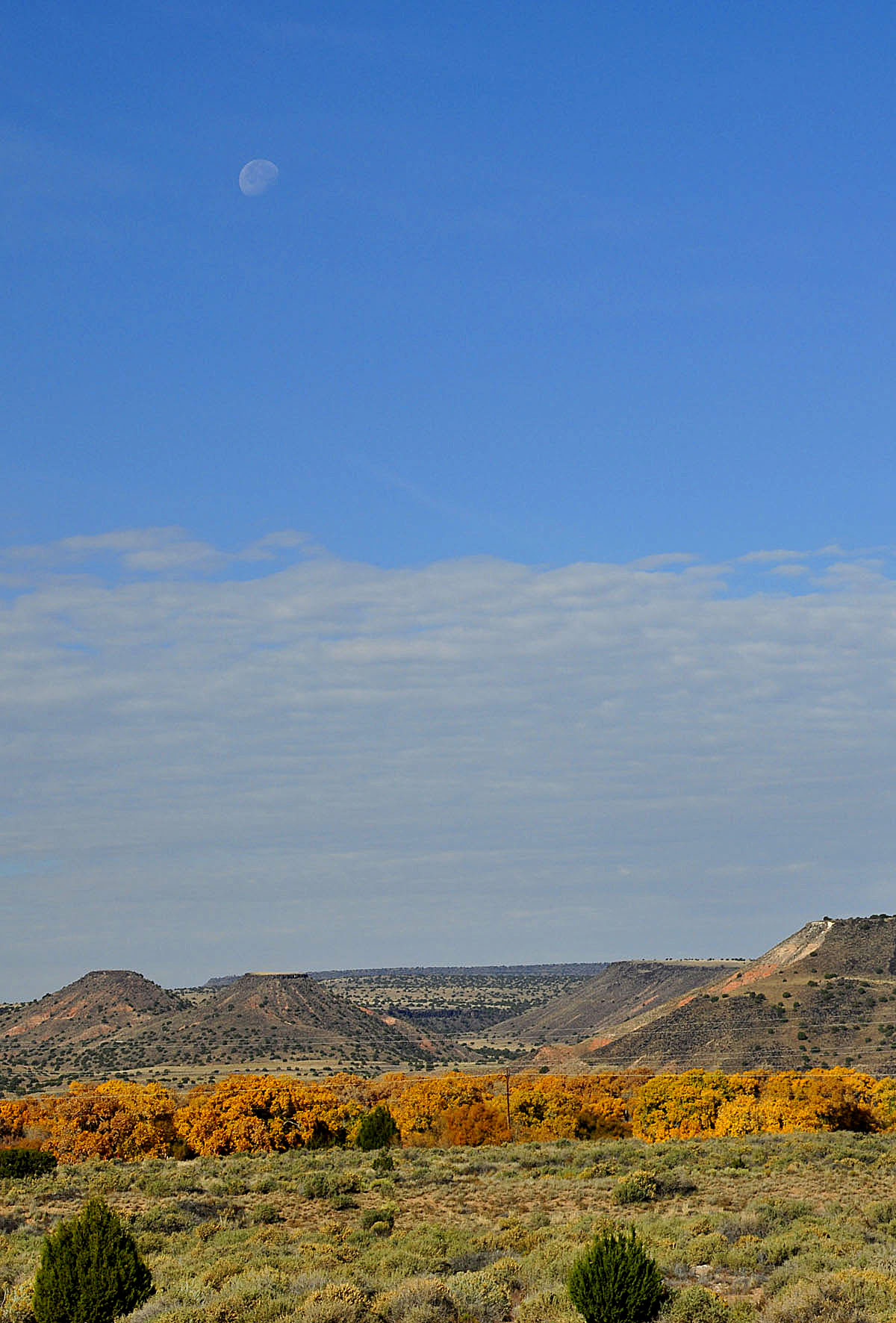
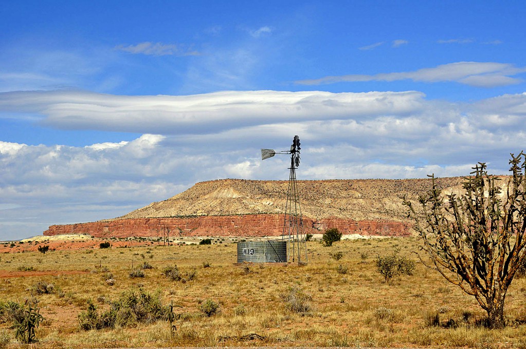
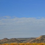
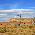
Along Highway 40 between Gallup and Albuquerque, there are great rock formations and vistas. Partly cloudy skies diffused the typically harsh light of midday. We made frequent pull offs to either the side of the road or on adjacent off ramps. Polarizing filters made the southwestern blue skies and rare clouds more dramatic.
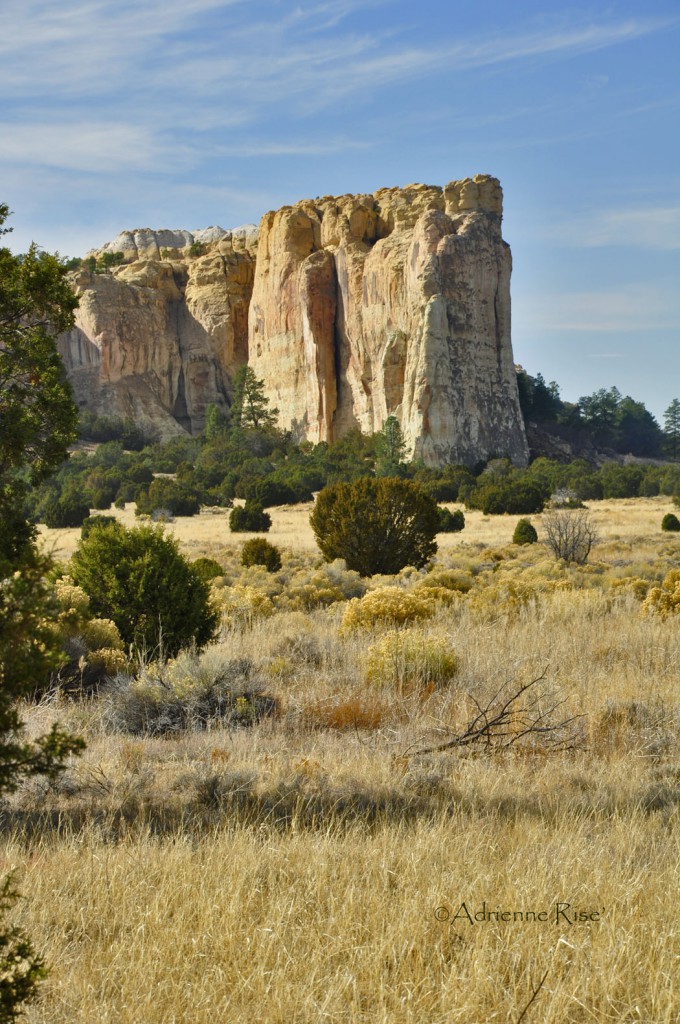
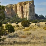
We took a scenic route off of Highway 68, one exit west of the Grants, NM exit. Route 53 takes you into the Malpais area of NM and through a portion of the Zuni Indian Reservation. Time was pressing but we took some nice shots along the road to include El Morro National Monument.
To learn more about El Morro and the Malpais visit The National Park Service site. USA Desert provides a compelling description of El Morro.
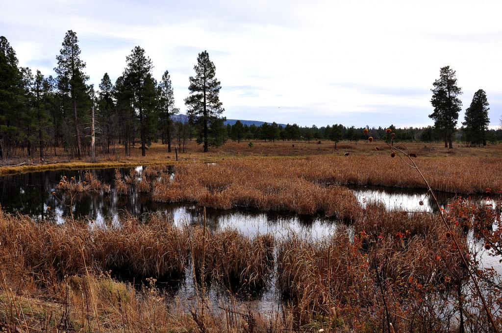
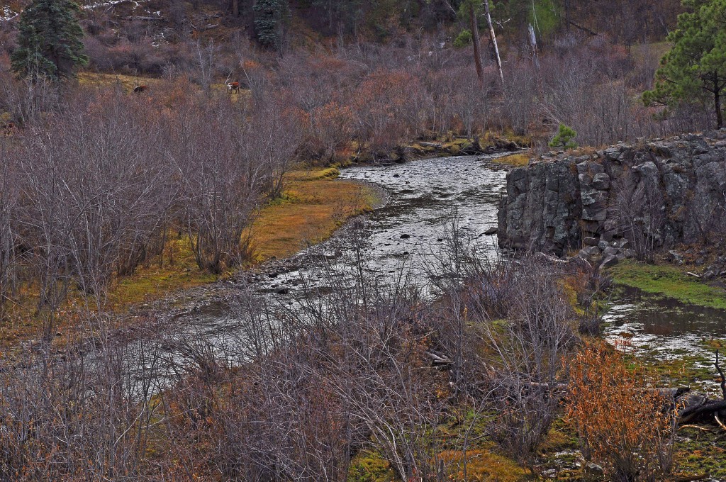
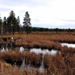
We continued into Arizona on 191 south, through Eager and onto the 260 west to photograph the scenery of Pinetop and Show Low. We stopped just east of Pinetop at McNary and Hawley Lake. By the time we got in some good shooting we knew our ambitious plan to also do some captures on Highway 60 heading through the Salt River Canyon would not be possible due to the sun setting by the time we made it through the canyons. The setting sun set the pine forest ablaze with hot pinks and purples and curiously it lasted from 5:20 pm to well past 6 pm—I cannot remember a sunset lasting close to an hour other than we were heading due south and a bit west so the view just kept on coming.
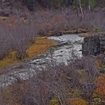
After 6 hours on the road inspiration failed us and we did not make another stop to capture the sunset since with failing light coming through Salt River Canyon in the dark with 6% grades and switch back turns would be particularly trying. The canyon offers spectacular views, but we’ll have to come back another time. These canyons are about two hours outside Phoenix but we warn you there may be no facilities along the Canyon Highway, like Highway 1 down the California coast—there are shear walls and drop-offs with wonderful views (but no convenient bushes!) To help you plan your trip through the Salt River Canyon and surrounding area here are some helpful websites:
- Great overview article with some photos of various other scenic places in AZ.
- Wikipedia entry with lots of informative links.
- Addtional information about the Salt River and Canyon area and recreational opportunities.