A Scenic Route for Photographers: Hwy 68 to Taos NM
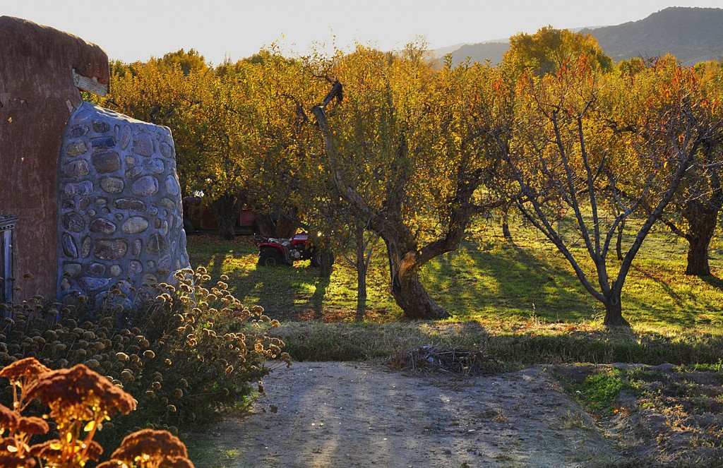
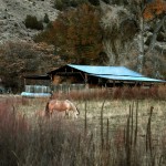
Once we were done with the seminar at Kirtland AFB in Albuquerque, NM, we headed north to take in some scenery. After visiting a bit of Santa Fe proper we headed to Taos in search of fall and perhaps a touch of snow. We took Highway 68 north and about 20 miles out of Santa Fe is Espanola and along the route there are some charming fruit stands this time of year. Look behind some of these stands, some are in front of the family orchards and farms with lovely and surprising details like stone walls, kiva fireplaces, and gardens. The stands themselves are visual delights with apples, bunches of chili peppers, and gourds. Highway 68 parallels the Rio Grande which waters these farmlands and create patches of autumn color as Cottonwoods and water reeds and tall grasses turn warm hues of gold, tan and red. Historical preservation society’s nice write up about the Rio Grande’s history and impact. [Photographs copyright of Adrienne Campbell.]
As Phoenicians we were desperately seeking evergreens in the landscape leading to Taos—after all don’t all ski resort areas have Pine trees? “No”, came the answer from the locals working at a farm. But they told us of a road less traveled but very charming, particularly when hungering for a more traditional fall feeling of trees and long grasses turning color and apples ripening on trees.
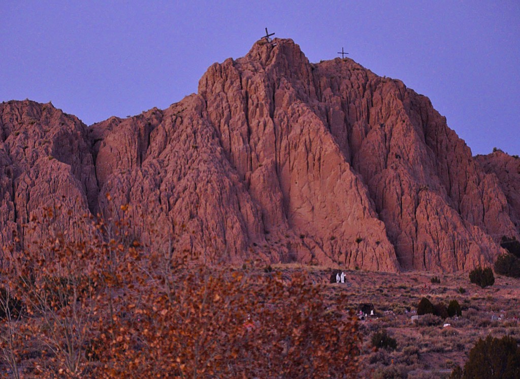
So we got off highway 68, just adjacent to an unusual shrine made from a sandstone formation with three crosses and statuary at its base, and made a right hand turn onto Route 75 heading to Dixon, NM. We only went less than 5 miles on this route that actually would have taken two hours to get to Taos and back to Santa Fe, not including time to shoot or take in some wine tasting. We were running out of daylight, hence we only took a nibble at what was a “yummy feast” of old churches, orchards, and farms. Read more about this out of the way gem at Wikipedia.
Drive slowly and look behind buildings along the road to discover some very nice old churches tucked behind old store fronts. (Note to make it to Taos on the route you would go east on 75 and then head north on 518 to go into Taos.)

